4-in-4 Day 1 Project 1: ITP Apartment Phyki
A physical wiki.
My first 4-in-4 project was a physical wiki, or ‘phyki’, on which ITP students could mark the locations of their apartments and find out who else in the program lived nearby.
Although all ITP students live within a relatively small distance from 721 Broadway, and despite the fact that there are significant advantages for each student of knowing which other students live nearby (sharing cabs after TNO, going out for a last-minute brunch, etc), there is currently no good way to learn who lives nearby. Several people on the student email list have proposed the creating an online (Google) map on which everyone could mark the location, but nothing has come of it that I’m aware of. There are issues of security, privacy (even if it’s protected), maintenance, and difficulty involving people who don’t read the list.
The solution I had in mind was to use an actual physical map hanging from a wall on the floor, with labeled push pins that people can use to mark their locations. It would not be as searchable as an online map, it can’t be easily archived (if one took a photograph facing the map, the labels would be perpendicular to the plane of the image and thus unreadable), the pin holes would not need to be particularly precise, it could only be accessed by people on the floor who could see the map, it would be easy to update, hard to forget about, and everyone would be aware of it.
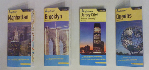
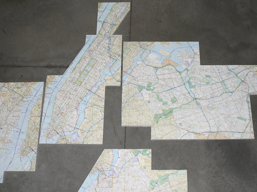
I envisioned a giant map of all five boroughs, so I went to the Hagstrom map store in midtown. They did have a large map, but the scale was still relatively small, it did not include Jersey City, and it was expensive ($150). They did have other individual folded maps of each boroughs, and those had somewhat larger (although different) scales and were much cheaper ($5). I bought the maps for Manhattan, Brooklyn, Queens, and Jersey City, since I couldn’t think of anyone that lived anywhere else) —
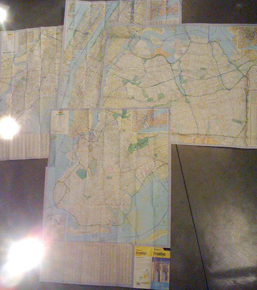
Opened up and spread out, they look roughly like this —
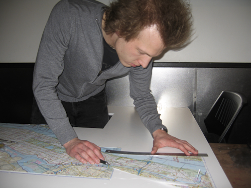
I mounted them to foam core with double-stick tape (which brough back memories of architecture models)(thanks Meredith for the photos!) —
And here they are mounted to the foam core and leaned against a wall —
And viewed from above —
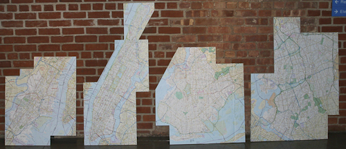
Since everyone knows where their apartments are, I decided to cut off the visually distracting street-finder tools on the sides of the map. The resulting shapes are irregular, but it should look cleaner against a white wall on the floor. It would be nice if they could all be part of one map and at the same scale, but for these purposes it didn’t really matter since this is for locations within the boroughs and not travel between them.
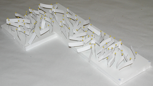
Finally, I bought pins at Kmart and labels at Staples. There are 75 of them right now, but I hope to get a second color (so the first and second-years can be differentiated) before the semester starts —
An additional use of the maps is specifically for people who were looking for apartments — I’ll have extra blank piece of foam core people could move their pins to if they were looking for a new place, and then people could see who else had pins there and find roommates. Furthermore, those people could see who lived where, and easily decide where to look for a new apartment based on where their friends were.
Once the construction is done on the floor I can hang the maps, and I’ll post more pictures then. Hopefully people use it!